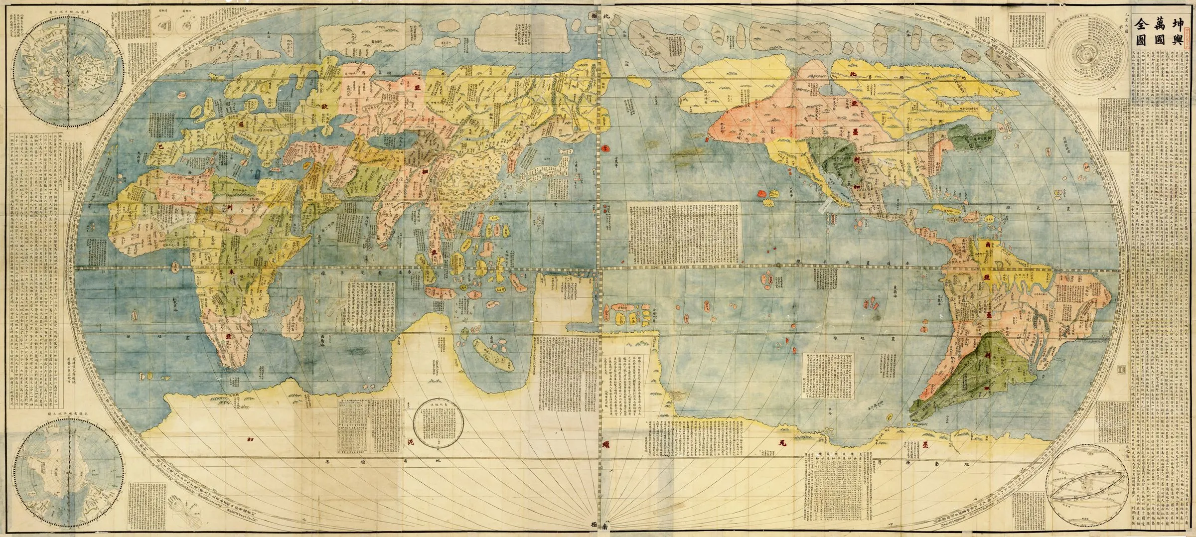
1602 · Six-panel woodblock world map on paper
Kunyu Wanguo Quantu
Matteo Ricci with Li Zhizao; printed by Zhang Wentao
Why it matters
The map is material evidence of Sino-European collaboration. European projection, Chinese scholarship, Chinese-language annotation, Ming paper, and local woodblock printing produced a world map that cannot be understood as a one-way transfer from West to East.
- Publication
- Complete Geographical Map of Ten Thousand Countries
- Holding institution
- University of Minnesota Libraries, James Ford Bell Library
- Shelfmark
- Kunyu wanguo quantu, 1602
Ricci, Matteo, with Li Zhizao; printed by Zhang Wentao. Kunyu Wanguo Quantu. Beijing, 1602. University of Minnesota Libraries, James Ford Bell Library.
.jpg)