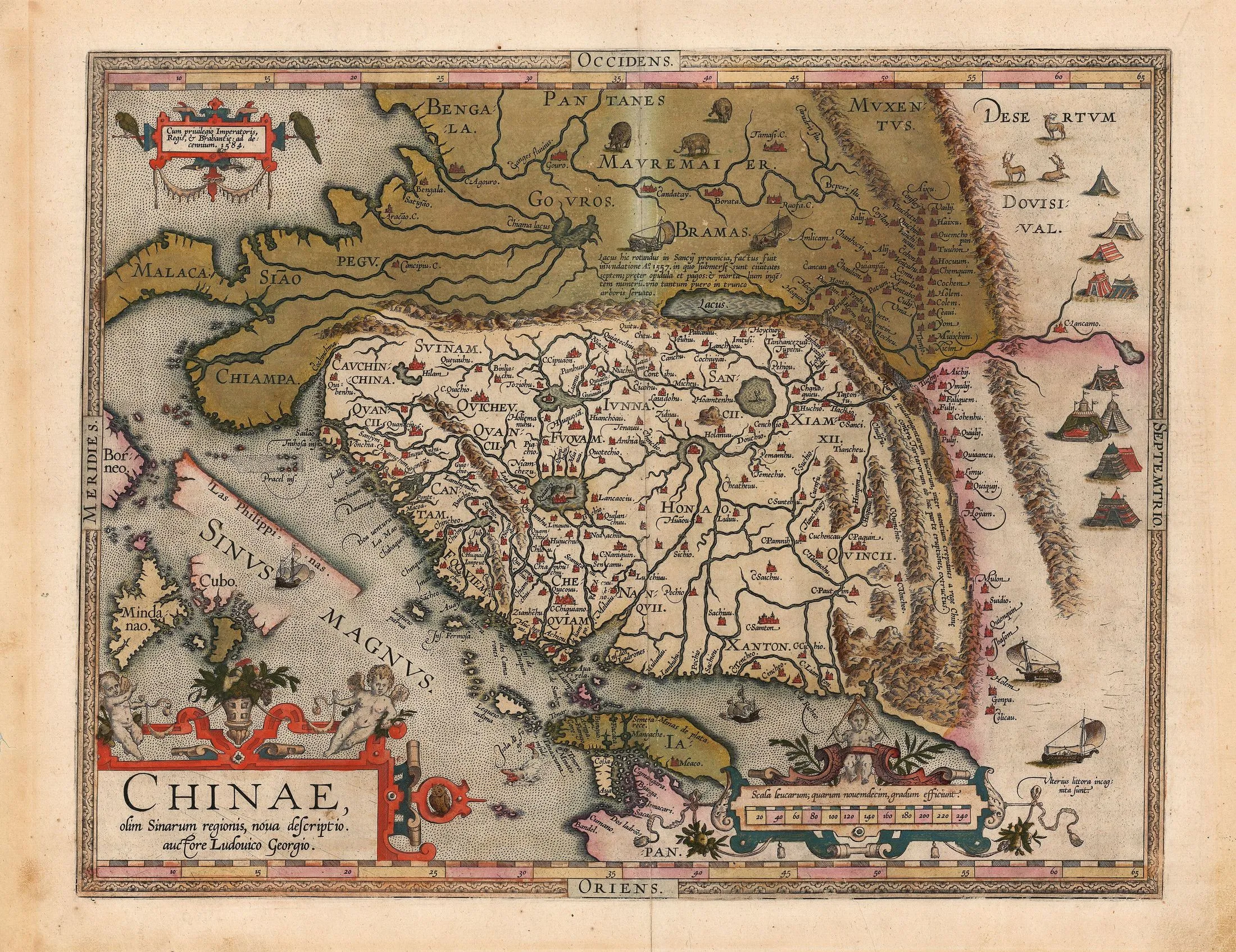
1584 · Hand-coloured engraved map
Chinae, olim Sinarum regionis, nova descriptio
Luis Jorge de Barbuda; published by Abraham Ortelius
Why it matters
This influential atlas sheet consolidates China into a bounded, named territory for European readers. Its dense administrative detail and confident outline made partial reports look systematic while preserving older names, distortions, and emblematic imagery.
- Publication
- Theatrum orbis terrarum
- Holding institution
- David Rumsey Map Collection
- Shelfmark
- List No. 10001.305
Barbuda, Luis Jorge de, and Abraham Ortelius. Chinae, olim Sinarum regionis, nova descriptio. Antwerp, 1584. David Rumsey Map Collection, List No. 10001.305.
.jpg)