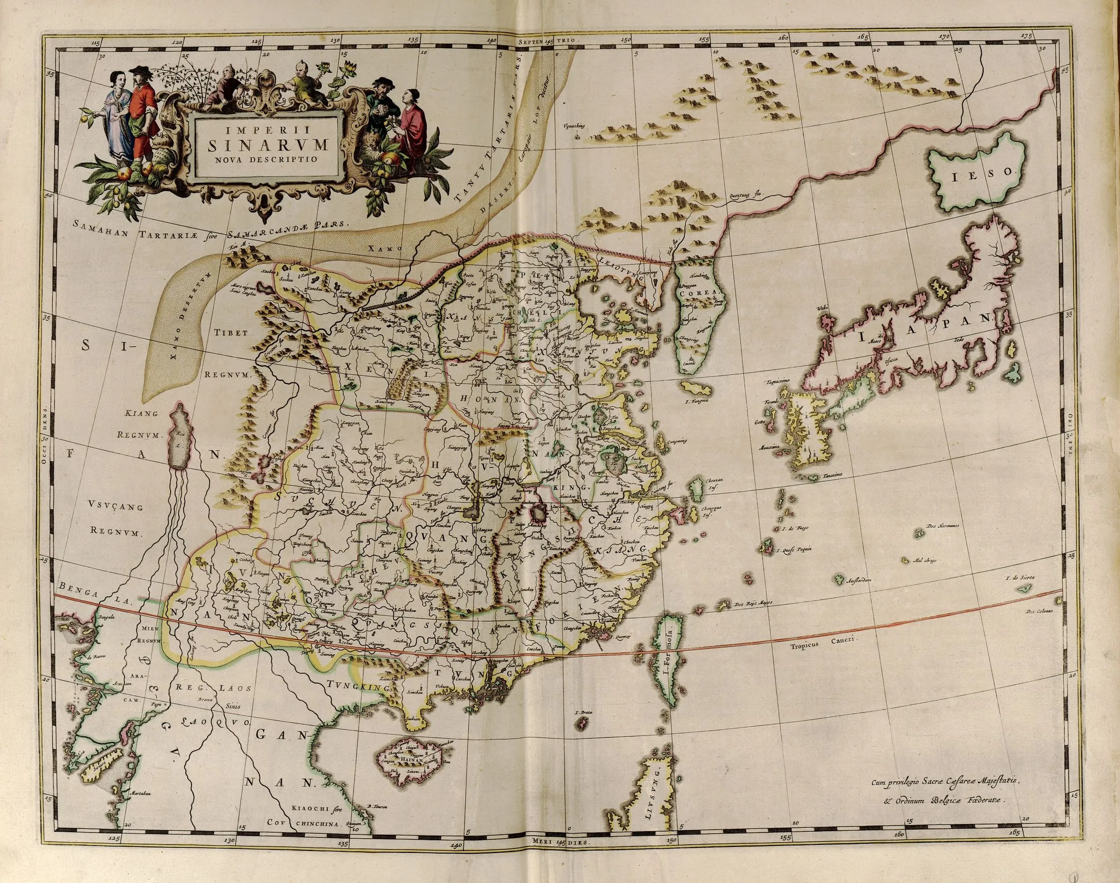
1655 · Hand-coloured engraved atlas map
Imperii Sinarum nova descriptio
Martino Martini; published by Joan Blaeu
Why it matters
The first European atlas devoted to China translated Chinese maps and geographic texts into a Dutch atlas system. Its general and provincial sheets made the empire appear internally ordered, comparable, and administratively knowable.
- Publication
- Novus Atlas Sinensis
- Holding institution
- Library of Congress, Geography and Map Division
- Shelfmark
- G2305 .M3 1655
Martini, Martino, and Joan Blaeu. Imperii Sinarum nova descriptio, in Novus Atlas Sinensis. Amsterdam, 1655. Library of Congress, G2305 .M3 1655.
