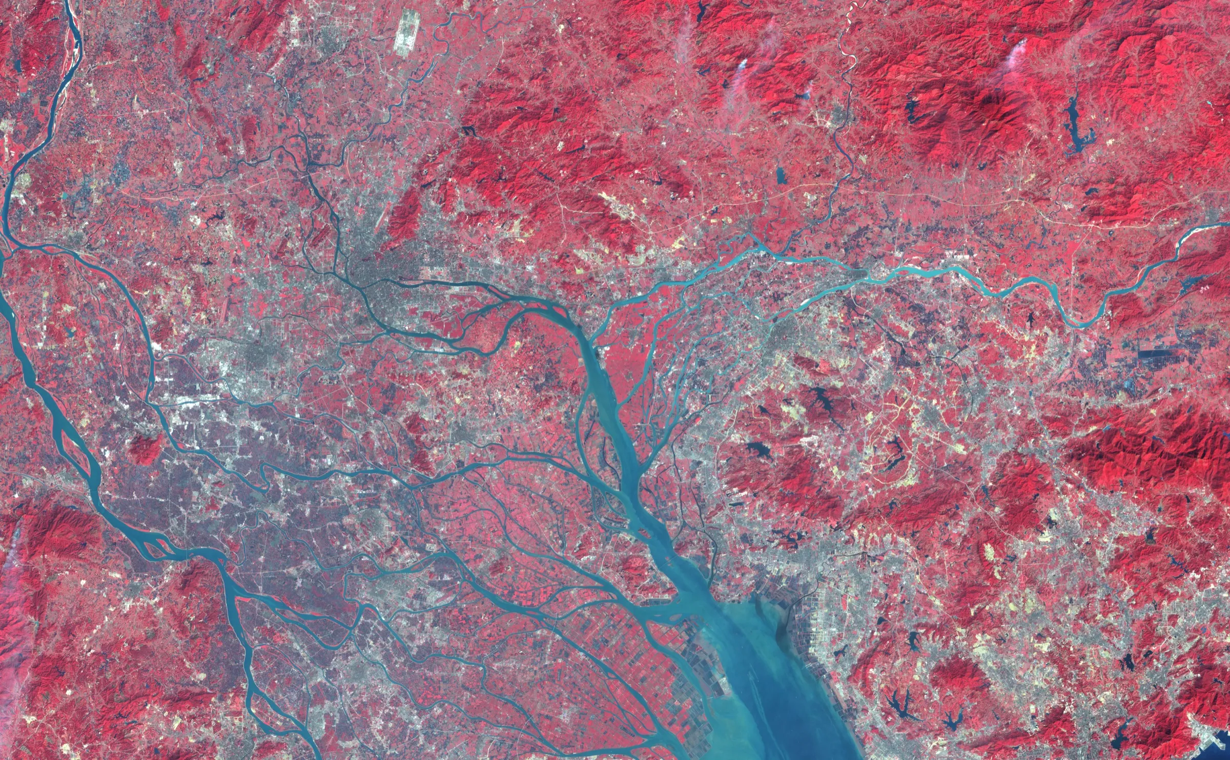
10 January 2003 · False-colour Landsat satellite image
Urbanization of the Pearl River Delta, 10 January 2003
Jesse Allen, using Landsat 7 ETM+ data provided by the Landsat Project Science Office at NASA Goddard Space Flight Center
Why it matters
Paired with the 1979 observation, this image makes reform visible as expanded roads, buildings, and paved surfaces. It also preserves what the “world factory” shorthand tends to suppress: production remade a watershed and climate as well as a trade balance.
- Publication
- NASA Earth Observatory
- Holding institution
- NASA Earth Observatory
- Shelfmark
- Image of the Day 7949; pearlriver_l7_2003010_lrg.jpg
Allen, Jesse. Urbanization of the Pearl River Delta, 10 January 2003. Landsat 7 ETM+ false-colour image. NASA Earth Observatory, Image of the Day 7949.
