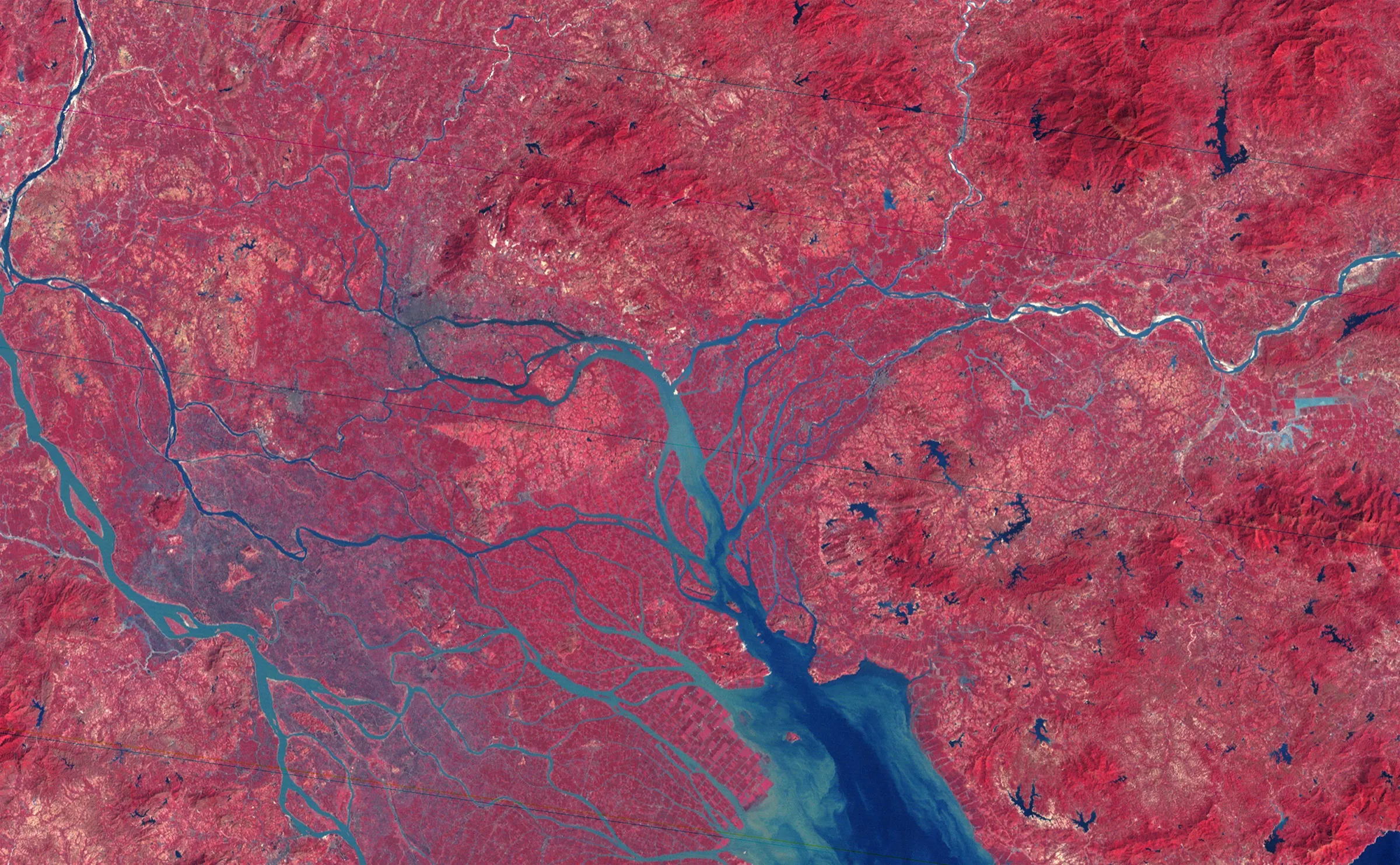
19 October 1979 · False-colour Landsat satellite image
Pearl River Delta, 19 October 1979
Jesse Allen, using Landsat 3 MSS data provided by the University of Maryland Global Land Cover Facility
Why it matters
NASA published this image beside a 2003 observation to visualise the effects of urbanisation following the creation of the Shenzhen Special Economic Zone. The later comparison turned an already inhabited agricultural delta into a retrospective “before” image of reform.
- Publication
- NASA Earth Observatory
- Holding institution
- NASA Earth Observatory
- Shelfmark
- Image of the Day 7949; pearlriver_l3_1979292_lrg.jpg
Allen, Jesse. Pearl River Delta, 19 October 1979. Landsat 3 MSS false-colour image. NASA Earth Observatory, Image of the Day 7949.
