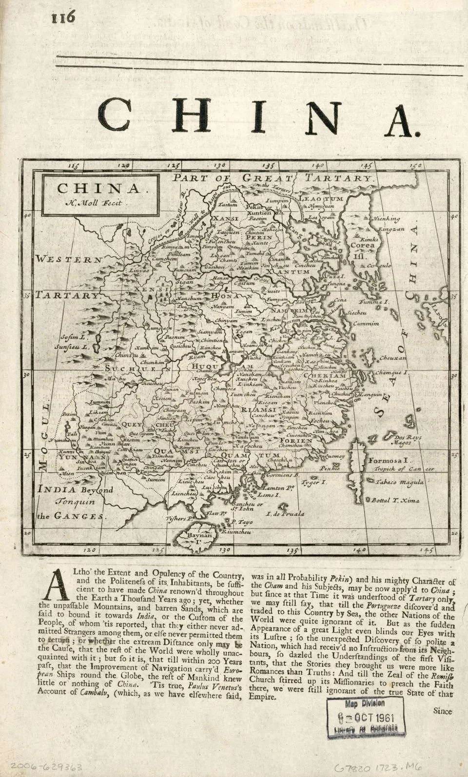
1723 · Printed map
China
Herman Moll
Why it matters
The map turns a distant empire into a bounded, labelled, and apparently surveyable object for a British reading public. Its confidence is part of the historical argument, not proof that its geography was complete or neutral.
- Publication
- Moll's Compleat Geographer, fourth edition
- Holding institution
- Library of Congress, Geography and Map Division
- Shelfmark
- G7820 1723 .M6, copy 2
Moll, Herman. China. London: J. Knapton, 1723. Library of Congress Geography and Map Division.
