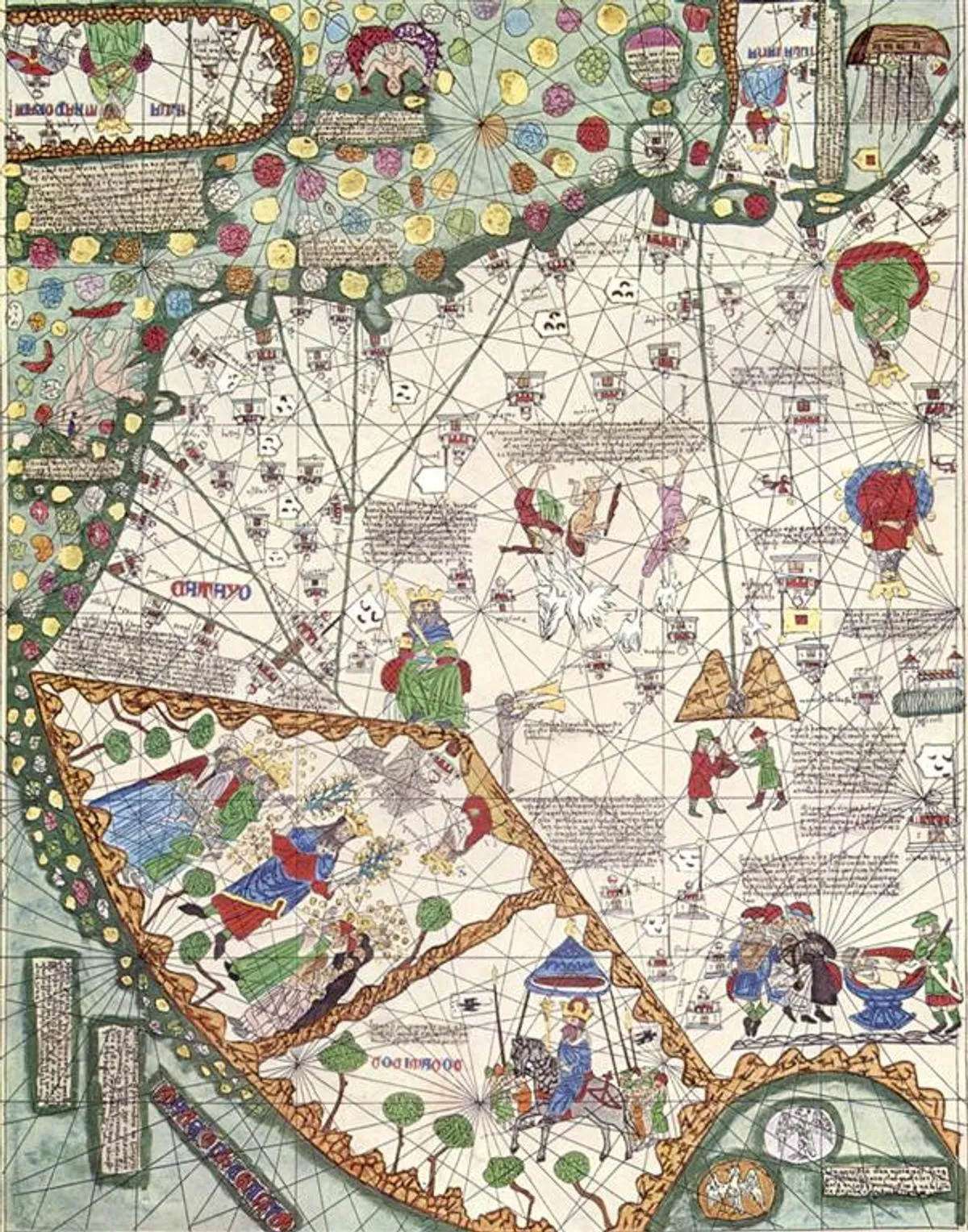
1375 · Illuminated portolan atlas
East Asia in the Catalan Atlas
Abraham Cresques or his workshop
Why it matters
The atlas gives Cathay a dense visual geography of cities, routes, rulers, commerce, and marvels. Its precision and invention coexist; the map records a connected European idea of Asia rather than a neutral survey of the region.
- Publication
- Atlas nautique, dit Atlas Catalan
- Holding institution
- Bibliothèque nationale de France, Département des Manuscrits
- Shelfmark
- Espagnol 30, tableau 3
Cresques, Abraham, or workshop. Atlas nautique, dit Atlas Catalan, tableau 3 (East Asia). Majorca, 1375. BnF, Espagnol 30.
